Know your fields,
down to the inch.
Continuous water depth monitoring that helps you optimize irrigation, protect yield, and make confident decisions throughout the growing season
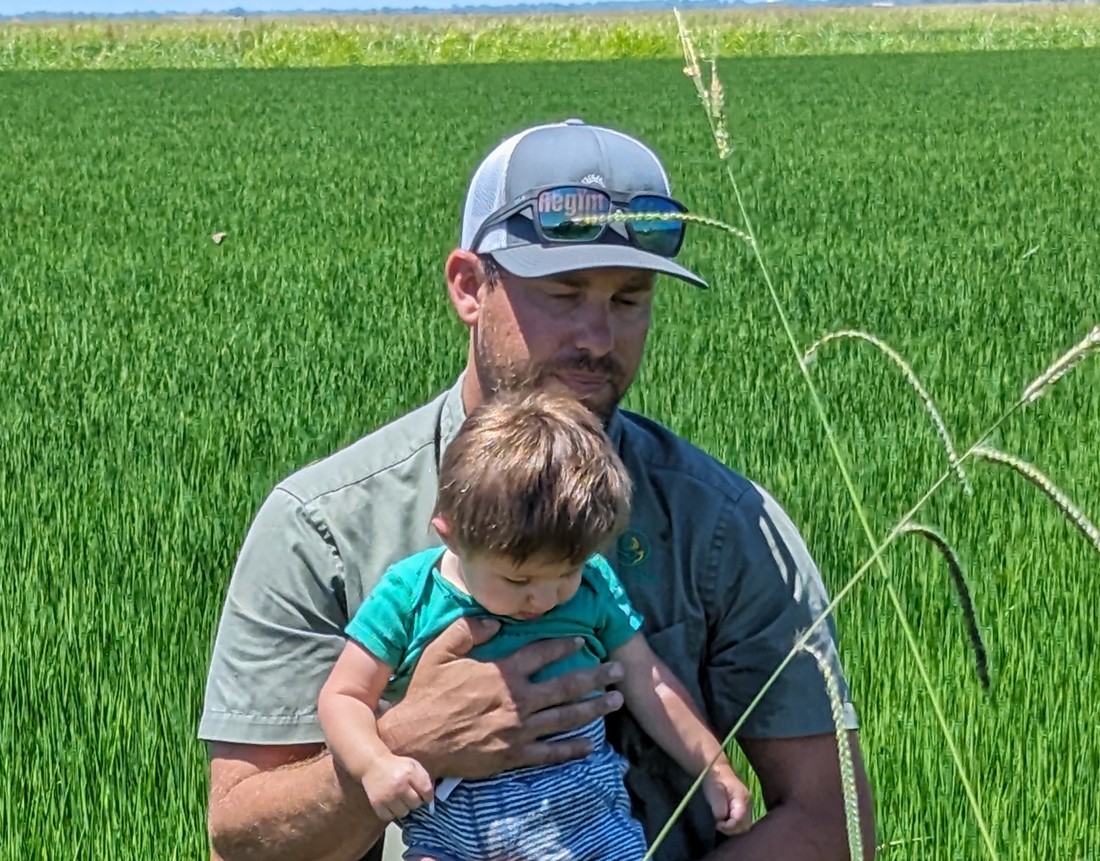
Trusted by Rice Growers
Across the Sacramento Valley
FlumeLogic provides full-service water depth monitoring for flooded rice fields. We install compact sensors in each irrigation check before flood-up, monitor them continuously throughout the entire crop season, and remove them after the irrigation water is turned off — so you always know exactly what's happening in your field without leaving the house.
Our system helps growers maintain the precise water depths that promotes higher yield production, identifies changes in depth trends, saves time visually checking levels, avoid over-pumping or dangerous dry spells.
"Finally, I can check my water from the truck — or from the house at 10pm. I used to drive out twice a day. Now I only go when something actually needs attention."
"The summary report at the end of the season gave me data I'd never had before — water usage by check, by field. Reduced water usage by 250 acre-feet in a single field last year."
"They installed everything, maintained it all season, and pulled it all out at the end. I didn't have to do a thing. Monitored my inlet ditch too. Worth every penny."
How We Work
Together
We handle everything — from mapping sensor locations before the season to delivering your irrigation summary report after. You focus on farming.
Plan
We map the optimal sensor location for every irrigation check in each field. Optionally, we can create a full Irrigation Water Management plan to support your NRCS EQIP application.
Install
After field work is complete and as irrigation water is first turned on, we install water depth sensors in each check — no disruption to your operations.
Monitor & Maintain
We monitor all sensors hourly throughout the entire crop season. If a sensor goes offline or needs attention, we handle it — proactively.
Remove
When irrigation water is finally turned off for the season, we return to retrieve all sensors. Nothing left behind in your field.
Summary Report
We deliver a complete irrigation management report — water depths and usage data organized by check, field, and ranch. Useful for NRCS documentation and planning next season.
What You'll See
In Your Dashboard
Hourly readings for every check in every field. Spot a field running low or flooding before it becomes a problem.
All data shown is for illustration only. Your dashboard updates hourly and is accessible from any device — phone, tablet, or desktop.
Simple,
Transparent Pricing
Choose the level of service that fits your operation. No hidden fees, no equipment to buy. Pricing is per acre, billed at the start of the season.
- ✓1 sensor per check
- ✓Install, monitor & remove
- ✓Hourly readings all season
- ✓Access to web dashboard
- ✓Sensor location map
- ✓End-of-Season report
- ✓1 sensor per check
- ✓Install, monitor & remove
- ✓Hourly readings all season
- ✓Access to web dashboard
- —Sensor location map
- —End-of-Season report
- ✓1 field, 2 sensors
- ✓Install, monitor & remove
- ✓Hourly readings all season
- ✓Access to web dashboard
- —Sensor location map
- —End-of-Season report
Local. Trusted.
In the Field With You.
Founded in 2021, FlumeLogic is a service-focused business built so growers can focus on using information — not running systems. We handle the sensors, the data, and the analysis. You make the decisions with confidence.
Phil holds a B.S. in Agriculture from CSU Chico and is a certified Pest Control Agent with the Butte County Rice Growers Association. He designed and developed FlumeLogic's novel wireless water-level sensor, and continues to lead our Research & Development program alongside Sales and Marketing.

Aimee holds an M.S. in Systems Engineering from Southern Methodist University and a B.S. in Chemistry from UC San Diego . After 25+ years at Johnson & Johnson — retiring as an Engineering Fellow — she now serves as a Butte County Water Commissioner. She developed FlumeLogic's software, databases, and user applications, and oversees Operations and Product Performance.
Ready to start
monitoring?
Tell us about your operation and what you're looking for. We'll get back to you within one business day.
Message sent!
Thanks for reaching out. We'll be in touch within one business day.
In the meantime, feel free to call or email:
(530) 720-2745 ·
sales@flumelogic.com
Access Your
Field Dashboard
Sign in to view real-time water depths, hourly trends, and field status across your entire operation.
If that email is registered, you'll receive a reset link shortly. Check your inbox.
Start monitoring
this season.
Sensors in the ground. Data in your hands. All season long.
Get Started